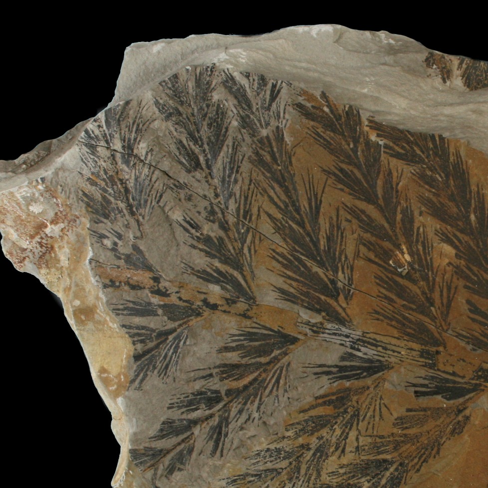
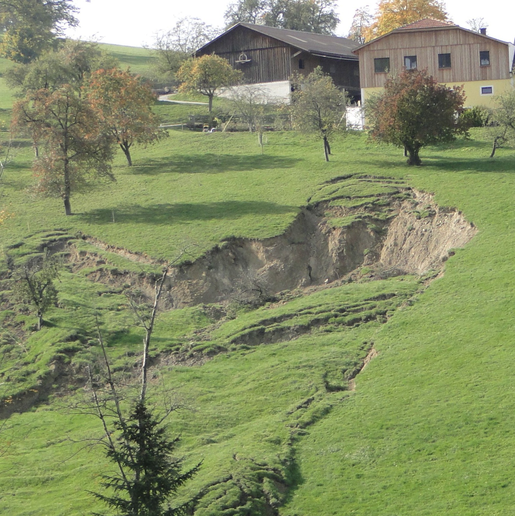
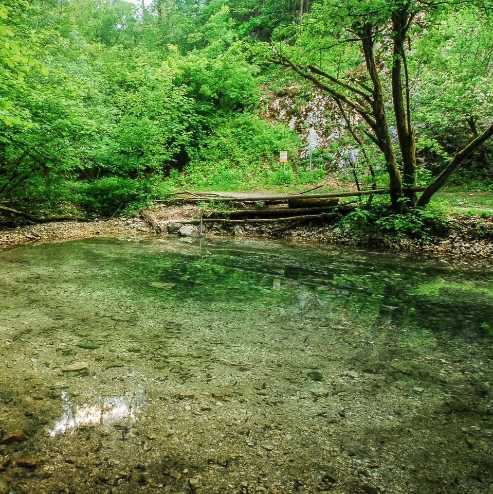
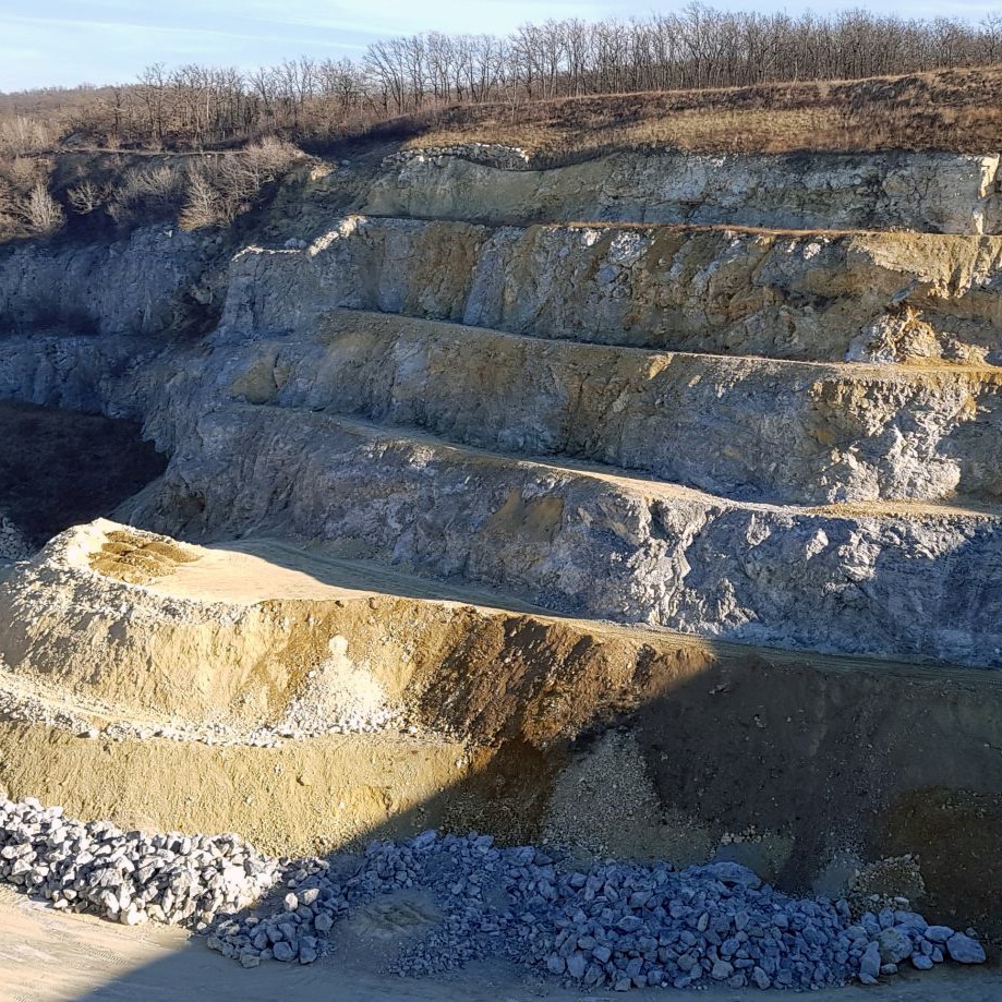
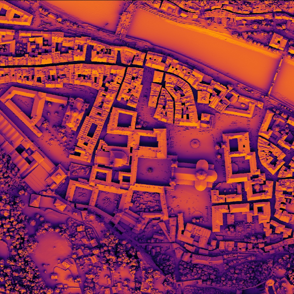
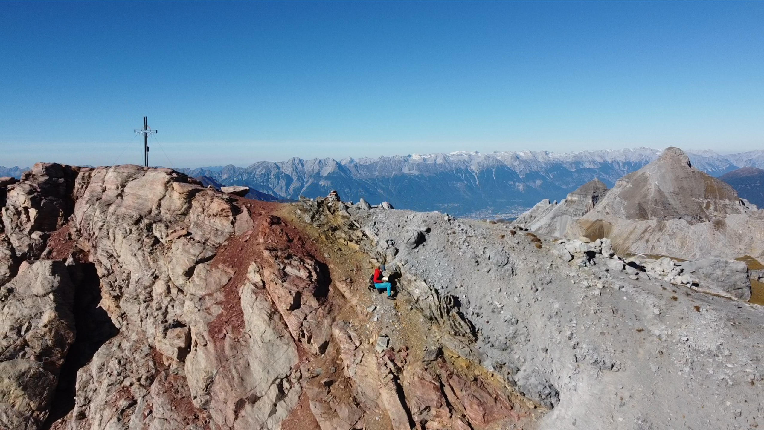
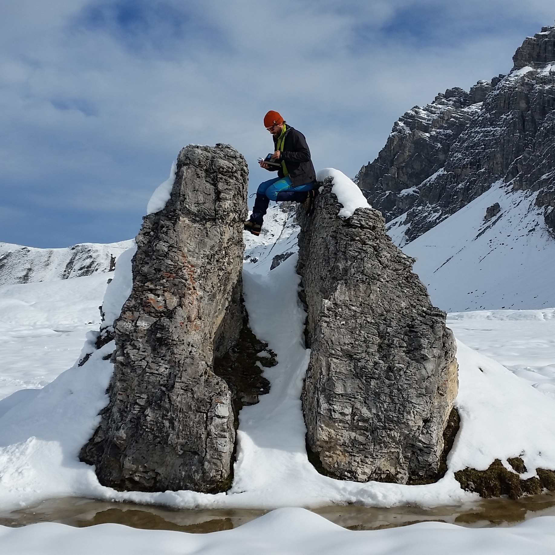
State Survey
The systematic collection, interpretation and characterization of the geological and geophysical properties of the entire state territory is one of the focal points of the national survey at GeoSphere Austria.
From the Earth's development history, composition, and structure to the distribution and properties of rocks, as well as groundwater resources, raw materials, and geogenic natural hazards.
GeoSphere Austria collects, interprets, and archives geoscientific data for Austria. Its core tasks include geological mapping, the assessment of geogenic natural and environmental hazards, as well as the identification of national potential in areas such as renewable energy, groundwater resources, and exploitable mineral resources.
Our experts make their specialised knowledge available in the form of geological maps and models. These serve as a foundation for infrastructure planning, climate change adaptation, and the sustainable use of natural resources. In the service of science and society, we promote a better understanding of Austria's geology while making an important contribution to the safety, resilience, and quality of life.
Selection from the field of geology: