Remote sensing using multi- and hyperspectral imaging
Workshop at GeoSphere Austria
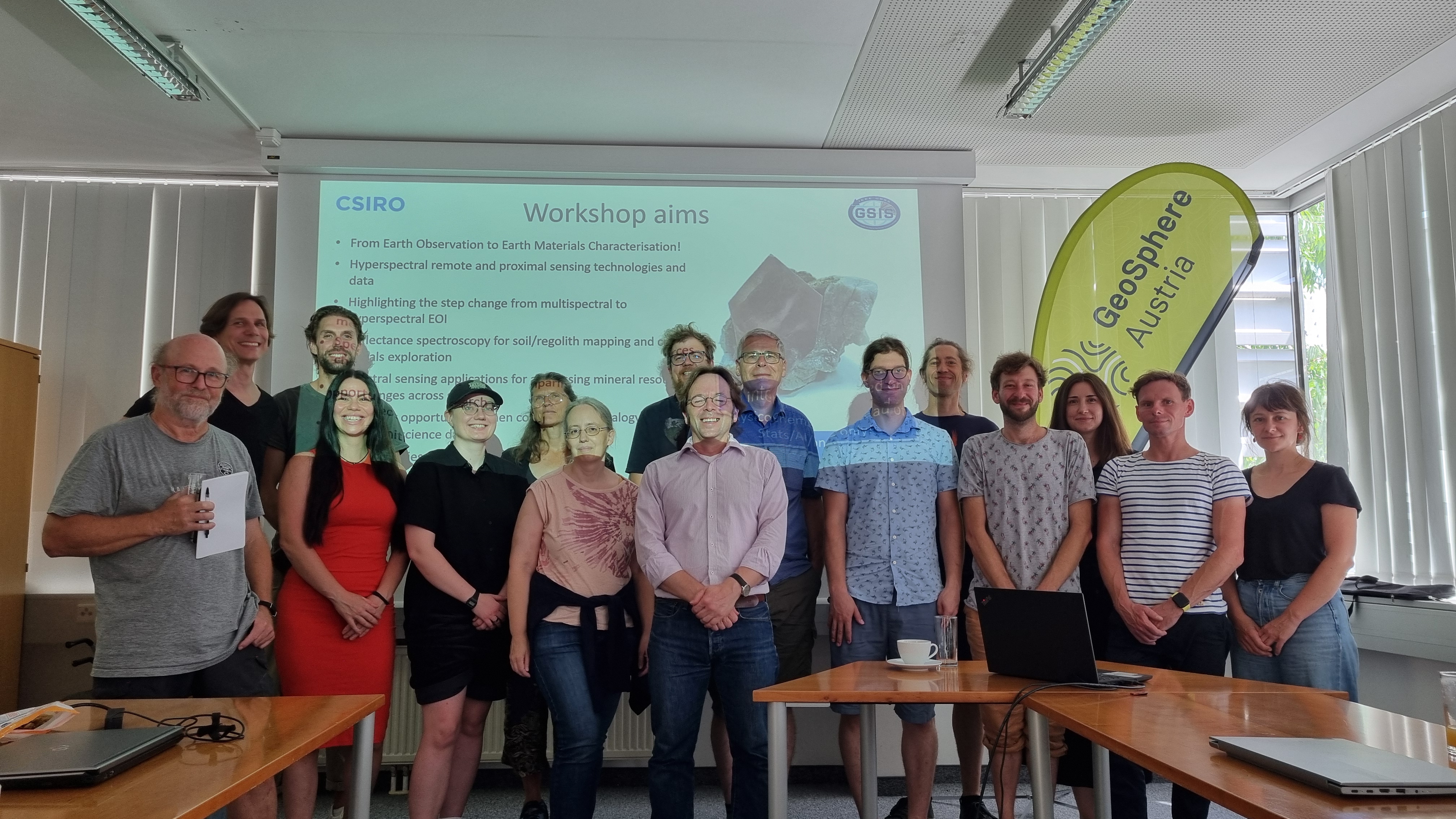
On 26 June, a workshop on remote sensing using multi- and hyperspectral imaging was held under the direction of Dr Carsten Laukamp from CSIRO (Commonwealth Scientific and Industrial Research Organisation in Perth, Western Australia). Interested experts from the fields of mineral geology, near-surface geophysics, hydrogeology and geological mapping took part.
Spectral imaging is used to analyse the light reflected from a surface. This method is of practical use in geology, as almost all minerals have unique reflection spectra. This enables the rapid and non-destructive identification of minerals and rocks, which can be carried out directly in the field or in the laboratory. In remote sensing, aeroplanes and satellites are used to map large areas. This offers useful applications, such as the characterisation of raw materials in exploration projects, geological mapping of rough terrain and environmental monitoring.
Hyperspectral_workshop.jpg
Workshop participants in the GeoSphere Austria conference room. © GeoSphere Austria/Angerer.
Translated with DeepL.com (free version)