New release of GeoSphere Maps
A new release of GeoSphere Maps (Release 1.2 - Pöstlingberg) is now online with integrated 3D functionality.
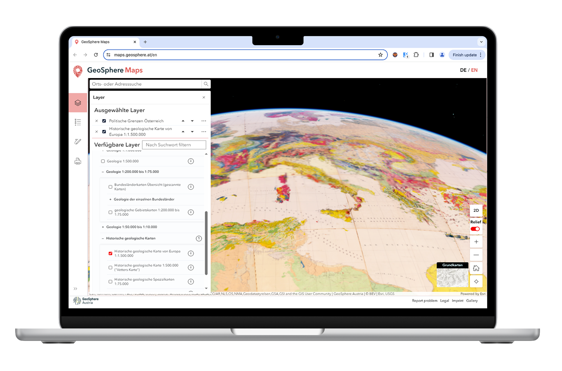
Geosphere Maps- New version- Mukcup_EN.png
Screenshot of GeoSphere Maps (release 1.2) showing the new 3D functionality. © GeoSphere Austria/Steffal.
With GeoSphere Maps – the interactive platform for geoscientific content – information from the fields of geology, natural hazards, geophysics, hydrogeology, raw material geology and glaciology can be explored interactively.
The platform is aimed at geological services, universities, educational institutions, engineering offices and the interested public.
Content can also be integrated into other applications as web services.
This is new in this version:
- Theme layers can now be placed over a terrain model using the 3D function.
- The historical geological map of the Republic of Austria and neighbouring areas at 1:500,000, the so-called ‘Vetters Map’.
- Earthquake hazard maps