New publication: Geological map Hollabrunn
The GeoSphere Austria publishing house has published the new sheets Hollabrunn-Southwest and Southeast from the series "Geological Map of the Republic of Austria 1:25,000".
The maps cover the area in north-eastern Lower Austria (Weinviertel) between Göllersdorf and Großmugl in the north and Stetteldorf / Wagram and Leitzersdorf in the south, as well as between Ober- and Niederrußbach in the west and Niederfellabrunn in the east. They are each supplemented by profile sections. Geologically, these are units of the Autochthonous and Allochthonous Molasse (Waschberg zone, Haselbach-Schuppe and Roseldorf zone). Rocks of the Penninic Greifenstein cover and sediments of the inner-Alpine Korneuburg Neogene Basin are exposed in the south-east.
Umschlaghülle Hollabrunn SE
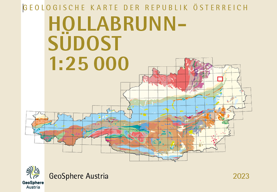
Cover Hollabrunn-Southeast 1:25 000. © GeoSphere Austria.
Holger Gebhardt (SE, SW), Stjepan Ćorić (SE), Pavel Havlíček (SW), Zdenek Novák (SW), Reinhard Roetzel (SW) and Milos Růžička (SW) Published by GeoSphere Austria, 2023, Vienna, price: € 30,- (plus shipping costs) for both map sheets, delivery: A4 folded in plastic sleeve
The two printed map sheets GK 25 Hollabrunn-Southeast and Southwest (NM 33-12-13 SE and SW quadrants) are part of the map series ‘Geological Map of the Republic of Austria 1:25,000’ in the UTM system of the Federal Office of Metrology and Surveying (BEV).
The digital datasets of both map sheets are available free of charge via our research data repository Tethys.
Translated with DeepL.com (free version)